Difference between revisions of "Enter Geospatial Data in the Data Entry Form"
From IMSMA Wiki
| Line 46: | Line 46: | ||
* part of the polygon. | * part of the polygon. | ||
| − | More information on point types is available [[Point Types|here]]. | + | More information on point types is available '''[[Point Types|here]]'''. |
==Preview Geospatial Data==__NOEDITSECTION__ | ==Preview Geospatial Data==__NOEDITSECTION__ | ||
Revision as of 22:14, 27 June 2015
| |
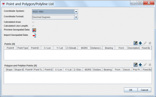
You have to specify the Coordinate System and Coordinate Format you would like to use before starting to enter the geospatial data. |
There are several options to enter geospatial data into IMSMANG:
To enter the geospatial data into IMSMANG, click on ![]() icon in the Data Entry Form Editor window.
icon in the Data Entry Form Editor window.
The interface to enter geospatial data manually or by drawing on the map consists of two tables: a Points table, and a Polygon and Polyline Points table.
After you have entered the polygon/polyline points, IMSMANG displays the total calculated area size and line length of the polygons and/or polylines.
Point types
Which point type should be used depends on:
- if is it a single point;
- if is it a point that is part of a polygon / polyline;
- the type of contamination.
Point types used for recording of areas are of two main types;
- single points;
- part of the polygon.
More information on point types is available here.
Preview Geospatial Data
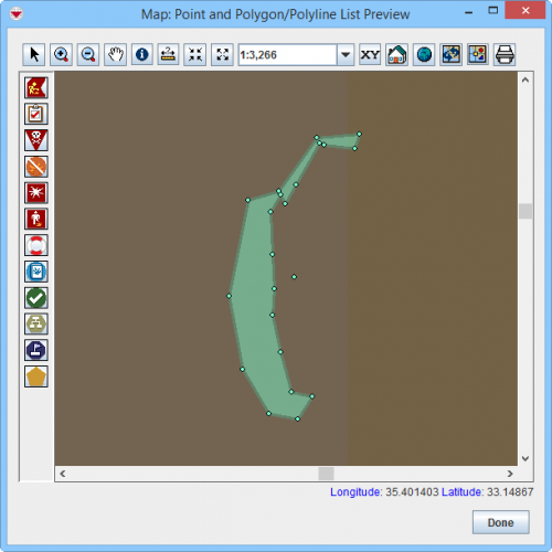
You can also preview geospatial data:
Point and Polygon/Polyline List Preview window
| |
More functions have been added to the Preview window. It amongst other things possible to add labels. It is also possible to change the order of the themes. |

