Difference between revisions of "Remote Sensing"
From IMSMA Wiki
| Line 1: | Line 1: | ||
| − | [[Image: | + | {| class="wikitable" |
| − | Remote sensing is the scanning of the earth by satellite or high-flying aircraft in order to obtain information about objects or areas from a distance. | + | |- |
| + | | [[Image:RemoteSensing.gif|350px]] | ||
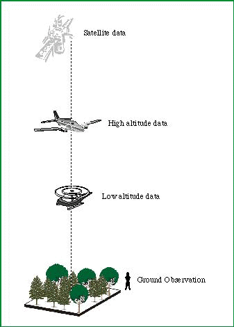
| + | | Remote sensing is the scanning of the earth by satellite or high-flying aircraft in order to obtain information about objects or areas from a distance. | ||
In remote sensing, sensors are used to collect data and imagery. These sensors can be on satellites or mounted in aircraft or Unmanned Aerial Vehicles (UAV). | In remote sensing, sensors are used to collect data and imagery. These sensors can be on satellites or mounted in aircraft or Unmanned Aerial Vehicles (UAV). | ||
| Line 11: | Line 13: | ||
Data from remote sensing is also valuable for use in spatial analysis, providing data and information to further understand the situation of an area. | Data from remote sensing is also valuable for use in spatial analysis, providing data and information to further understand the situation of an area. | ||
| − | + | |} | |
{{NavBox Remote Sensing and Spatial Analysis}} | {{NavBox Remote Sensing and Spatial Analysis}} | ||
[[Category:PEW]] | [[Category:PEW]] | ||
Revision as of 12:06, 4 August 2016
| |||||||||||
