SAG Spatial reference system
For a complete list of available projections, issue the following query on an empty staging area (i.e. the one created after clicking on Validate Selections):
select *
from spatial_ref_sys
You may also consult http://spatialreference.org/ to find the SRID that you would like to use. PostgreSQL is using the EPSG standard.
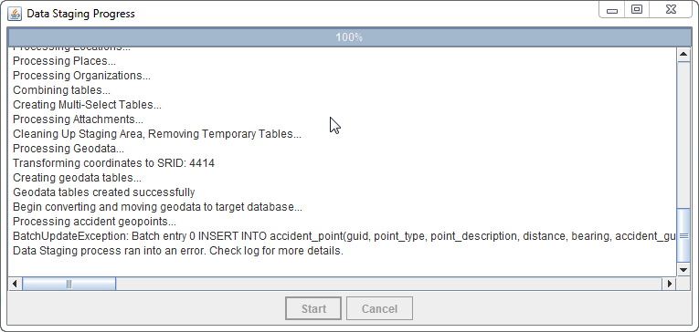
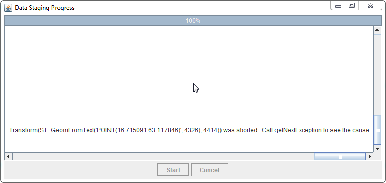
Error message when creating Geodata
Conversions/re-projections cannot be done between all coordinate systems/SRIDs. In fact, some coordinate systems are defined for and focus on a specific part of the world, and coordinates outside of this specific range cannot be represented. If this is the case, an error message such as the following will be displayed in the staging area generator progress window.
If you encounter this error, please verify whether the chosen SRID for re-projection and the coordinates in the source IMSMA are compatible. It could also be something wrong with references between tables in the IMSMANG database. You will find more information in the log file.
| ||||||||||||||

