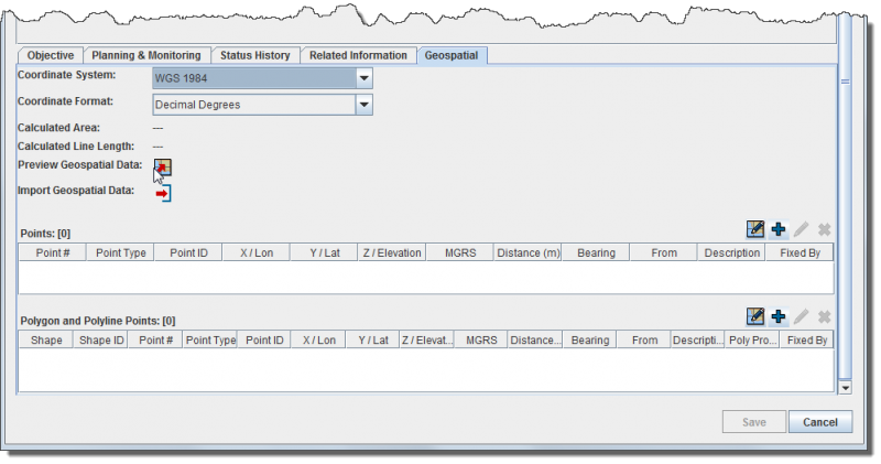
File:GeospatialDataTab.png
From IMSMA Wiki
Revision as of 21:40, 17 February 2014 by Laura (talk | contribs) (Laura uploaded a new version of "File:GeospatialDataTab.png": Version 6.0)

Size of this preview: 800 × 421 pixels. Other resolutions: 320 × 168 pixels | 999 × 526 pixels.
Original file (999 × 526 pixels, file size: 38 KB, MIME type: image/png)
File history
Click on a date/time to view the file as it appeared at that time.
| Date/Time | Thumbnail | Dimensions | User | Comment | |
|---|---|---|---|---|---|
| current | 21:40, 17 February 2014 | | 999 × 526 (38 KB) | Laura (talk | contribs) | Version 6.0 |
| 17:14, 17 September 2013 | 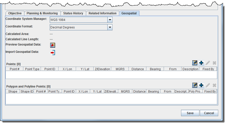 | 904 × 497 (36 KB) | Joe (talk | contribs) | Version 6.0 | |
| 21:03, 22 January 2013 | 579 × 205 (58 KB) | Joe (talk | contribs) |
- You cannot overwrite this file.
File usage
The following page links to this file: