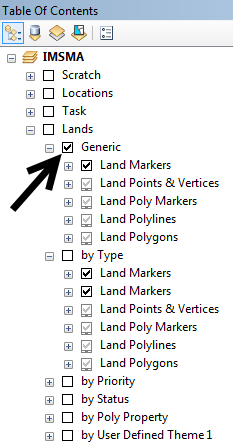
The IMSMA.mxd contains the symbology which will be used in the Map pane for the Mine action data.
Range of scales at which the layer will be shown
- Markers Symbols – beyond 1:50,000
- Points & Vertices – until 1:25,000
- Poly Markers – beyond 1:50,000
- Polylines and Polygons – until 1:50,000
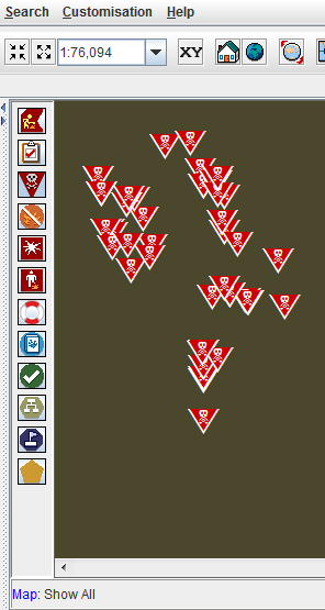
When a layer is activated in the Map pane then the Generic symbology will be used because that is the default/activated in IMSMA.mxd. In this example the scale is greater than 50,000 and therefore the symbology defined in Marker symbols will be used.
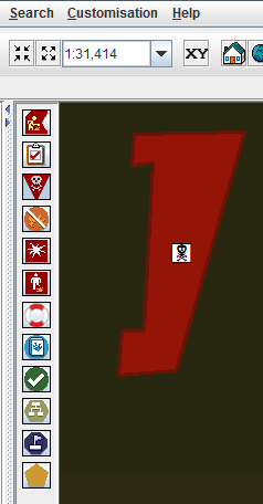
In this example the scale is between 1:25,000 and 1:50,000 and therefore the symbology defined in Polylines and Polygons will be used.
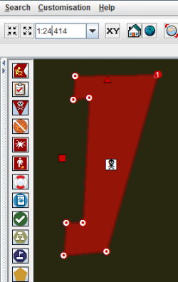
In this example the scale is between is less than 1:25,000 and therefore the symbology defined in Points & Vertices will be used.
| |||||||||||||


