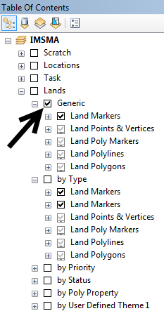
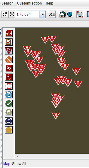
The IMSMA.mxd contains the symbology which will be used in the Map pane for the Mine action data.
Range of scales at which the layer will be shown
- Markers Symbols – beyond 1:50,000
- Land Points & Vertices – until 1:25,000
- Poly Markers – beyond 1:50,000
- Polylines and Polygons – until 1:50,000
| |||||||||||||

